Water
Showing 13–24 of 56 results
-

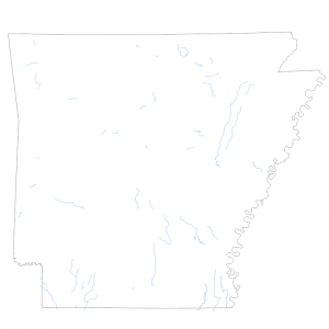
2020 Impaired Streams 303 d list in Category 4A
Downloadable Data! Add to cart -

2020 Impaired Streams 303 d list in Category 4B
Downloadable Data! Add to cart -

2020 Impaired Streams 303 d list in Category 5
Downloadable Data! Add to cart -

2020 Impaired Streams 303 d list in Category 5ALT
Downloadable Data! Add to cart -

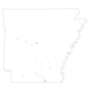
2022 Impaired Lakes 303 d list in Category 4A
Downloadable Data! Add to cart -

2022 Impaired Lakes 303 d list in Category 5
Downloadable Data! Add to cart -

2022 Impaired Streams 303 d list in Category 1B
Downloadable Data! Add to cart -

2022 Impaired Streams 303 d list in Category 4A
Downloadable Data! Add to cart -

2022 Impaired Streams 303 d list in Category 4B
Downloadable Data! Add to cart -

2022 Impaired Streams 303 d list in Category 5
Downloadable Data! Add to cart -

2022 Impaired Streams 303 d list in Category 5ALT
Downloadable Data! Add to cart -

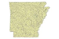
8 Digit Hydrologic Unit 2006 (polygon)
Downloadable Data! Add to cart

