Data
Showing 373–384 of 418 results
-
PLSS: Intersected, BLM
Downloadable Data! Add to cart -
PLSS: First Division- Sections, BLM
Downloadable Data! Add to cart -
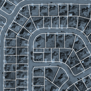
Parcel Polygon- County Assessor Mapping Program (polygon) Not A Legal Boundary
Downloadable Data! Add to cart -
Parcel Centroid- County Assessor Mapping Program (point)
Downloadable Data! Add to cart -
Ozark National Forest Service Ownership (polygon)
Downloadable Data! Add to cart -
Ownership 1995 (polygon)
Downloadable Data! Add to cart -
Management 1995 (polygon)
Downloadable Data! Add to cart -

Soil Map for Property Tax Assessment (polygon)
Downloadable Data! Add to cart -
STATSGO Soils (polygon)
Downloadable Data! Add to cart -
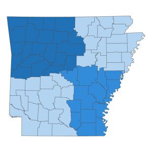
gSSURGO SurveyAreas FY 2013
Downloadable Data! Add to cart -
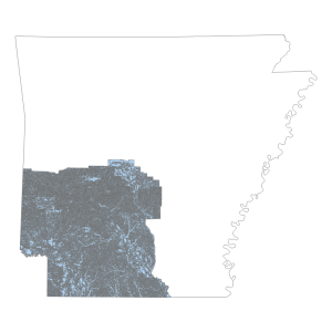
gSSURGO Ready2map SW FY 2013
Downloadable Data! Add to cart -
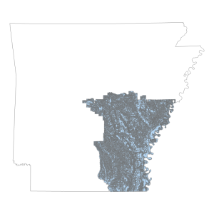
gSSURGO Ready2map SE FY 2013
Downloadable Data! Add to cart

