Data
Showing 349–360 of 418 results
-
Q3 Digital Flood Insurance Rate Map (polygon)
Downloadable Data! Add to cart -
Quadrangle Boundary (polygon)
Downloadable Data! Add to cart -
Quarter Quadrangle Boundary (polygon)
Downloadable Data! Add to cart -
Railroad Tiger 2005
Downloadable Data! Add to cart -
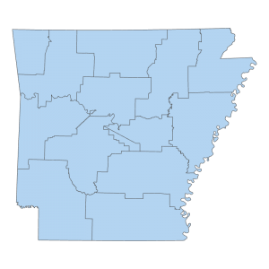
Regulated Storage Tanks Division Districts (polygon)
Downloadable Data! Add to cart -
River Mile Marker
Downloadable Data! Add to cart -
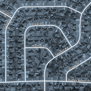
Road Centerline File
Downloadable Data! Add to cart -
Runway 2023 (line)
Downloadable Data! Add to cart -
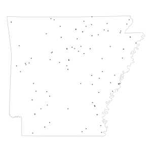
Rural Health Clinic (point)
Downloadable Data! Add to cart -
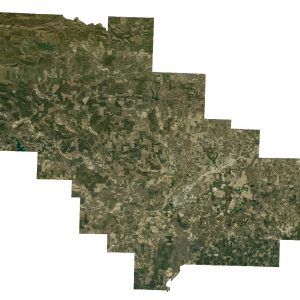
Saline County: 1 foot Orthos 2015 (Raster)
Read more -
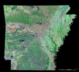
Saline County: One Foot Countywide Orthos 2009 (raster)
Read more -
Saline County: One Foot Countywide Orthos 2012 (raster)
Read more

