Data
Showing 301–312 of 418 results
-
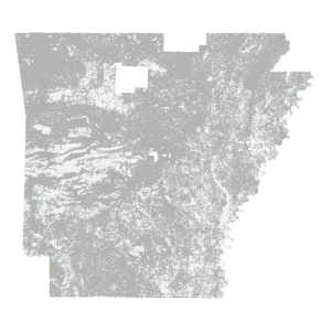
Parcel Centroid- County Assessor Mapping Program (point)
Downloadable Data! Add to cart -
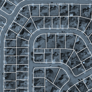
Parcel Polygon- County Assessor Mapping Program (polygon) Not A Legal Boundary
Downloadable Data! Add to cart -
Perry County: Half Foot Orthos 2010 (raster)
Read more -
Perry County: One Foot Orthos 2010 (raster)
Read more -
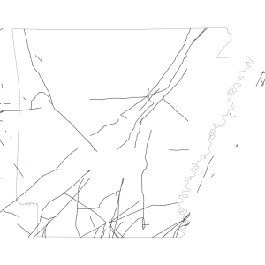
Pipeline 1986 (line)
Downloadable Data! Add to cart -
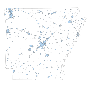
Places- 2010 Census
Downloadable Data! Add to cart -
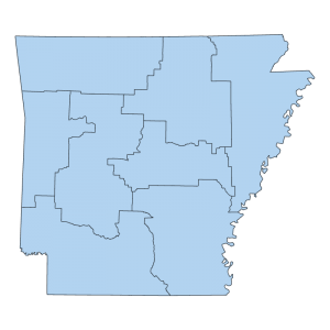
Planning Development District (polygon)
Downloadable Data! Add to cart -
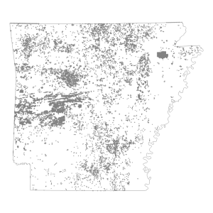
PLSS Corner Control Points
Downloadable Data! Add to cart -
PLSS: First Division- Sections, BLM
Downloadable Data! Add to cart -
PLSS: Intersected, BLM
Downloadable Data! Add to cart -
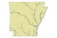
PLSS: Metadata Glance, BLM
Downloadable Data! Add to cart -
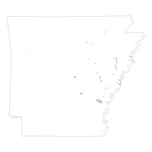
PLSS: Special Survey, BLM
Downloadable Data! Add to cart

