Data
Showing 253–264 of 418 results
-
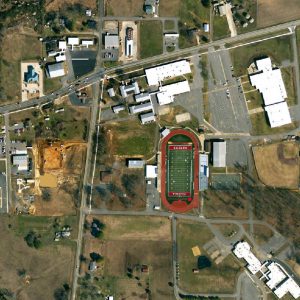
Faulkner County: One Foot Countywide Orthos 2009 (raster)
Read more -
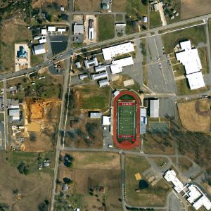
Faulkner County: One Foot Countywide Orthos 2013 (raster)
Read more -
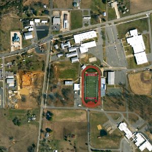
Faulkner County: 1 Foot Countywide Orthos 2011 (raster)
Read more -
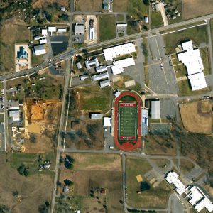
Faulkner County: 6 Inch City Orthos 2011 (raster)
Read more -
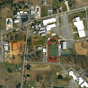
Faulkner County: 6 Inch City Orthos 2013 (raster)
Read more -
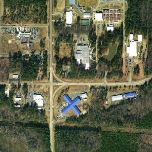
Drew County: One Foot Orthos 2010 (raster)
Read more -
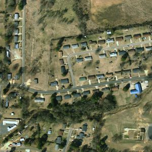
Drew County: Half Foot Orthos 2010 (raster)
Read more -
One meter Bradley County Orthos 2012 (raster)
Read more -
One Foot Bradley County Orthos 2012 (raster)
Read more -
Six Inch Bradley County Orthos 2012 (raster)
Read more -
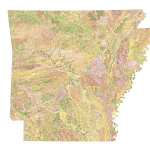
gSSURGO MapUnit FY 2013
Downloadable Data! Add to cart -
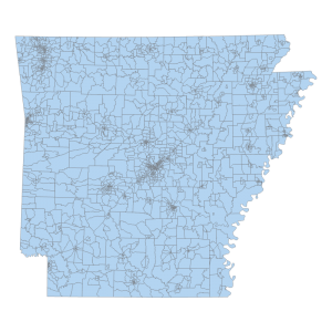
Census Block Group 2010 (polygon)
Downloadable Data! Add to cart

