Data
Showing 253–264 of 418 results
-
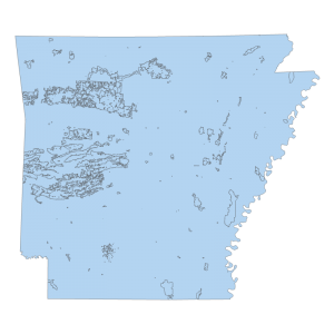
Management 1995 (polygon)
Downloadable Data! Add to cart -
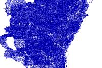
Medium Resolution: National Hydrography Dataset Flowline Feature (line)
Downloadable Data! Add to cart -

Medium Resolution: National Hydrography Dataset Landmark Feature (polygon)
Downloadable Data! Add to cart -

Medium Resolution: National Hydrography Dataset Line Feature (line)
Downloadable Data! Add to cart -

Medium Resolution: National Hydrography Dataset Point Feature (point)
Downloadable Data! Add to cart -
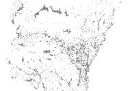
Medium Resolution: National Hydrography Dataset Waterbody Feature (polygon)
Downloadable Data! Add to cart -
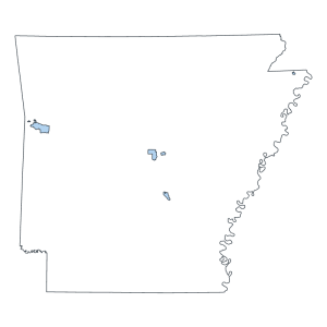
Military Installation Area (polygon)
Downloadable Data! Add to cart -
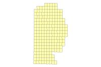
Miller County Ortho 2006 DOQQ Footprint (polygon)
Downloadable Data! Add to cart -
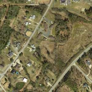
Montgomery County: Half Foot Orthos 2010 (raster)
Read more -
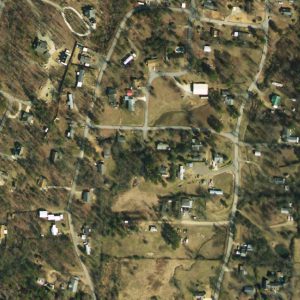
Montgomery County: One Foot Orthos 2010 (raster)
Read more -
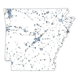
Municipal Boundaries (Polygon)
Downloadable Data! Add to cart -
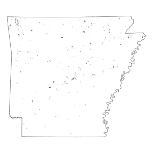
Municipal Boundary Changes (Polygon)
Downloadable Data! Add to cart

