Data
Showing 13–24 of 418 results
-
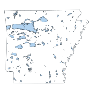
Wildlife Management Area Boundary (polygon)
Downloadable Data! Add to cart -
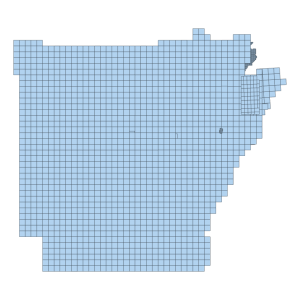
2018 DEM 1M Tile Index
Downloadable Data! Add to cart -
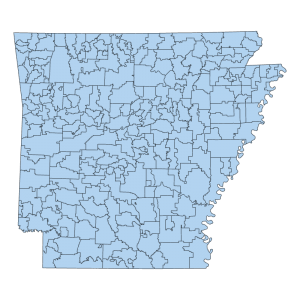
Public School District Boundary (polygon)
Downloadable Data! Add to cart -
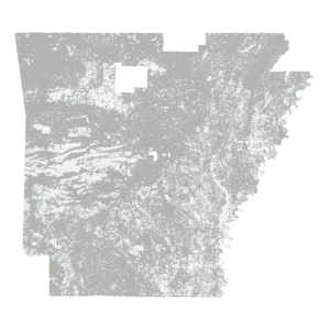
Parcel Centroid- County Assessor Mapping Program (point)
Downloadable Data! Add to cart -
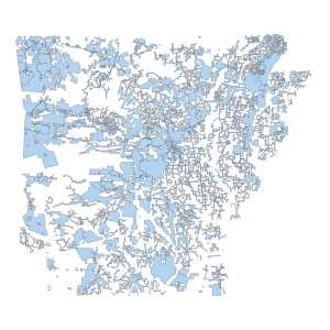
Public Water Systems (polygon)
Downloadable Data! Add to cart -
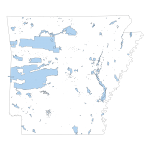
Public Land Boundary (polygon)
Read more -
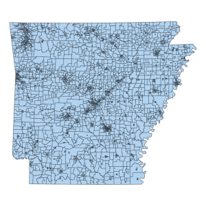
Election Precincts
Downloadable Data! Add to cart -

Flood Hazard Zone Polygon
Downloadable Data! Add to cart -
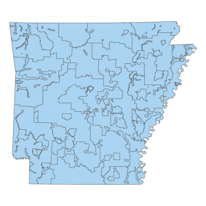
Electric Utility Service Territories (polygon)
Downloadable Data! Add to cart -
High Resolution: National Hydrography Dataset Flowline Feature (line)
Downloadable Data! Add to cart -
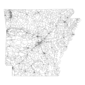
All Road Network of Linear Referenced Data (ARNOLD) (line)
Read more -
Stream Order Classification (line)
Downloadable Data! Add to cart

