Data Description
PLSS: Special Survey, BLM
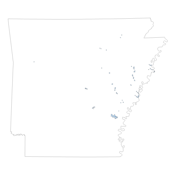
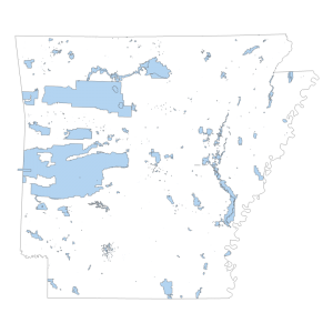
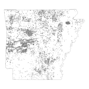
Special Surveys are non-rectangular PLSS survey areas from BLM survey records. These features are not populated for the Ohio data set because at the time of the PLSS Surveys in Ohio, the non-rectangular survey types had not been established. In eastern states there are commonly land surveys established prior to PLSS survey that are contained in the Survey System feature class because they are not part of the PLSS. PLSS Special surveys are a component of the PLSS but are not rectangular.
[Keywords: planningCadastre ]


