Data Description
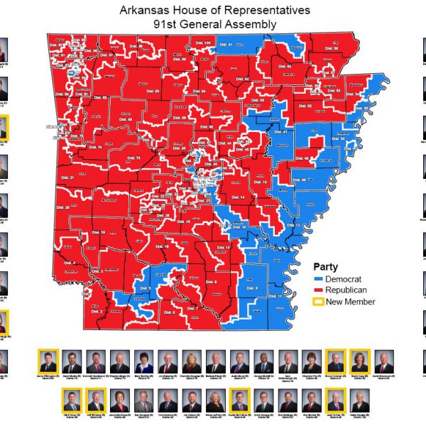
House of Representatives Map (91st General Assembly: 2016)
Photo Map Detail
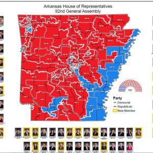
Each map contains a handy reference for the name, district and photo of each legislative member. Freshmen legislative members have their photos highlighted in yellow. The map colors portray the political party of each legislative member.
These maps are scaled for print on large format printers (D Size paper). Contact your local print shop to print these maps on a large scale plotter.


