Data Description
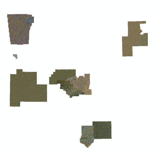
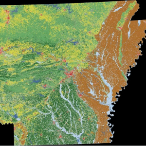
This Image Service contains the best available high resolution imagery within the state. The ADOP 2017 One Foot Ortho (raster) has replaced this service.
Below you will find the REST endpoint:
http://gis.arkansas.gov/arcgis/rest/services/ImageServices/High_Resolution_Composite/ImageServer
[Keywords: Aerial Ortho Orthos Photos Photography Aerials Aerial Photos Ortho Photos Aerial Photo Ortho Photo Aerial Photography Ortho Photography Imagery Image Aerial Imagery Orthoimagery, High Resolution]

