Data Description
24K Digital Raster Graphic- Metadata (polygon)
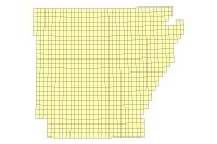
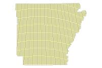
Data available online through GeoStor at http://www.geostor.arkansas.gov. This layer represents the vector footprints of each quadrangle included in the Arkansas statewide 1:24,000 Digital Raster Graphic mosaic. Attributes include airphoto date, field check date, revision photo date, revision photo check date, map edited date, contour interval, publication date, minor revision date, quadrangle name, and USGS quadrangle id.
[Keywords: imageryBaseMapsEarthcover elevation contour contours topo topos drg drgs ]

