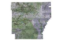
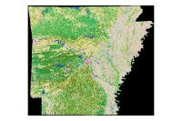
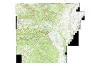
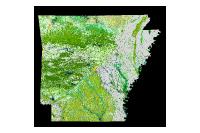
Data Description
24K Digital Raster Graphic- Hillshade (raster)
The collarless hillshaded DRGs are hillshaded using the National Elevation Dataset (NED). The NED is a raster product assembled by the U.S. Geological Survey. NED is designed to provide National elevation data in a seamless form with a consistent datum, elevation unit, and projection. Data corrections were made in the NED assembly process to minimize artifacts, perform edge matching, and fill sliver areas of missing data. NED has a resolution of one arc-second (approximately 30 meters) for the continuous United States, Hawaii, Puerto Rico and Virgin Islands. They are the same resolution as the 1:24,000 collarless DRGs, which has an approximate cell size of 2.4 meters, but hillshaded to give the maps a three-dimensional perspective. The collarless hillshade DRGs were created using a sequence of programs developed by Robert Weih.
[Keywords: imagery BaseMaps Earthcover elevation contour contours topo topos drg drgs quad map ]

