Data Description
Arkansas Centerline File
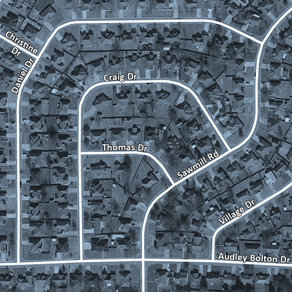
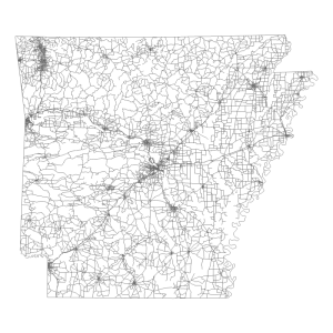
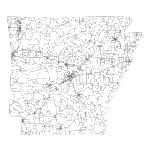
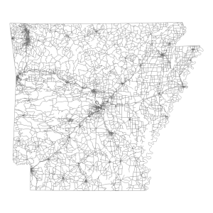
This dataset contains line features which represent the road centerline of all clearly defined passages through which a vehicle may travel. The features in this dataset have been accepted as meeting or exceeding the requirements set forth in the Arkansas Centerline File (ACF) Standard, although some of the features in this dataset still need to have zip code left and right attributes corrected or added. The ACF Standard states that the road centerline must be 10 meters or better in horizontal accuracy and contain attributes required for geocoding situs address databases. The National Standard for Spatial Data Accuracy (NSSDA) was utilized to determine the horizontal accuracy of each independent data source. Counties within this file include: Arkansas, Ashley, Baxter, Benton, Bradley, Boone, Calhoun, Carroll, Chicot, Clark, Clay, Cleburne, Cleveland, Columbia, Conway, Crawford, Craighead, Crittenden, Cross, Dallas, Desha, Drew, Faulkner, Franklin, Fulton, Garland, Grant, Greene, Hempstead, Hot Spring, Howard, Independence, Izard, Jackson, Jefferson, Johnson, Lafayette, Lawrence, Lee, Lincoln, Little River, Logan, Lonoke, Madison, Marion, Miller, Mississippi, Monroe, Montgomery, Nevada, Newton, Ouachita, Perry, Phillips, Pike, Poinsett, Polk, Pope, Prairie, Pulaski, Randolph, Saline, Scott, Searcy, Sebastian, Sevier, Sharp, St. Francis, Stone, Union, Van Buren, Washington, White, Woodruff, Yell
[Keywords: transportation roads highway highways streets street interstate interstates county road road road centerline road centerlines county roads ACF ]

