Public School District Boundary (polygon)
Downloadable Data!
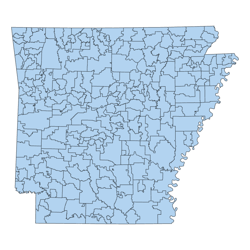
Public School District Boundary (polygon) The Arkansas Secretary of State contracted the University of Arkansas at Little Rock, GIS Applications Laboratory (UALRGIS) to use modern geographic information technology and improved base maps to create a current and spatially accurate statewide depiction of school district boundaries in the State of Arkansas. The Arkansas Geographic Information Office … Continue reading Public School District Boundary (polygon)