HISTORICAL Fire District (polygon) ARCHIVED
Downloadable Data!
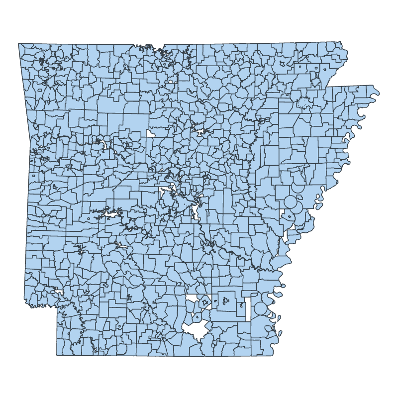
Fire District (polygon) – This data is available for historical purposes only. It is not maintained. Users should use the more current boundaries found here: This data set represented the fire districts throughout the State of Arkansas. The Geographic Information Systems (GIS) Lab at the University of Arkansas, Little Rock, formerly maintained the fire districts layer … Continue reading HISTORICAL Fire District (polygon) ARCHIVED